A major advantage of the current model is that no field measurements are required, compared with the use of hemispherical photography or ground-based photogrammetry to model or quantify shade.
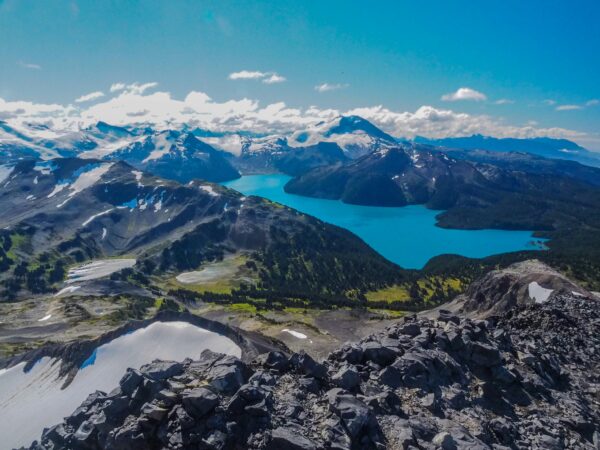
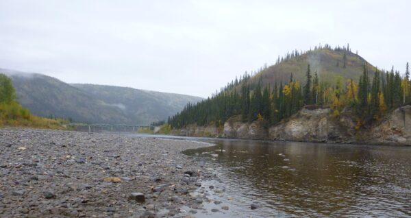
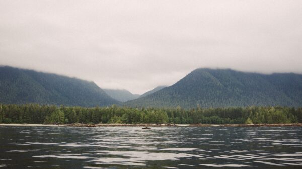
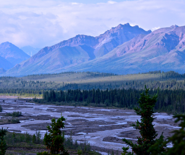
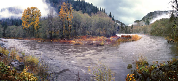
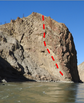
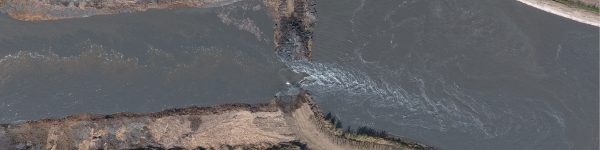
In late October 2024, NHC field hydrologist Billy Browning published a paper that discusses the development of a stream shade algorithm that models stream shade cast by the riparian corridor such as overhanging and non-overhanging vegetation, and large-scale topographic features using LiDAR and conventional elevation data. The hope is that the stream shade model will enable more case specific energy flux estimations for stream temperature models. Stream temperature is widely considered the master variable in stream ecosystems, and the implementation of the stream shade model can help enhance our understanding of how stream temperatures may respond to significant land use changes or future climate change. This could be crucial for assessing thermal habitat suitability for temperature-sensitive species, such as salmon, and for exploring the potential of stream restoration to mitigate these impacts. The study site chosen was the Lillooet River, which is located in the Pacific Ranges of the southern Coast Mountains of British Columbia. The focus was on a roughly 22-km-long reach extending from a Forest Service Road bridge at the upstream boundary to a lower boundary near the Village of Pemberton at an elevation of about 200 masl.
This work was supported by UBC Faculty of Arts and Natural Sciences and Engineering Research Council of Canada.
Click here to read the full publication.